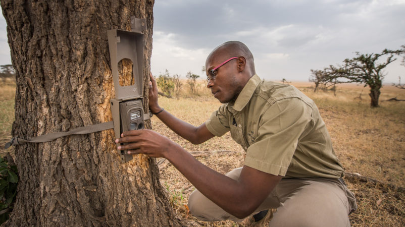
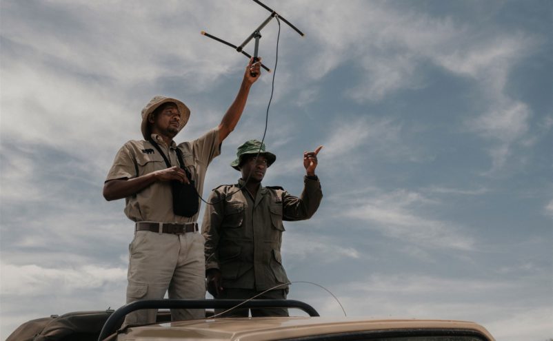
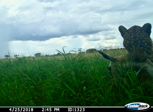
In order to better understand local ecological systems, and to measure the effectiveness of our community and conservation work, we invest significantly in research and monitoring programs with the aim of maintaining long-term records of changes in key variables.
Our team monitors climate, soil carbon, hydrological variables, vegetation biomass and species composition, fire, alien species (livestock and plants), large mammal numbers, large and important bird species and human-wildlife conflict. State-of-the-art GIS mapping software enables them to accurately map everything from wild fires and alien plant infestations to human-wildlife conflict and poaching incidents. This data ensures that only the best evidence-based information guides our decision making.


