

Bridging Continents: Cross‑Cultural GIS Capacity Building
In a world where location influences everything, from climate change policies to wildlife conservation, GIS has emerged as a truly global language. From July 14 to 19, our RISE facility, in collaboration with leading institutions including Pennsylvania State University, Montana State University Billings, the University of Connecticut, the University of Dar es Salaam, and the Nelson Mandela African Institution of Science and Technology (NM-AIST), convened GIS experts from across three continents for six days of intensive training, knowledge exchange, and cross-cultural collaboration.
As global challenges grow more complex and interconnected, so too must the tools and communities we rely on to address them. From climate resilience and food security to public health and disaster preparedness, spatial data has become central to how we understand and respond to the world around us. But data alone is not enough. The true power of GIS lies in its ability to connect perspectives, to bring local knowledge, scientific analysis, and lived experience into the same conversation.
“GIS is advancing every day, and it’s crucial to keep on learning new skills and to share knowledge with other experts in the field to keep up with this pace,” said Salwa Abdula, a participant from Zanzibar, reflecting on the importance of staying engaged in a rapidly evolving discipline.
This cross-cultural GIS training provided exactly that: a space where diverse voices came together to learn not only from tools and techniques, but from each other. When a participant from Kenya shared how GIS is used to monitor elephant movement through wildlife corridors, and another participant demonstrated how machine learning enhances flood prediction, both gained a deeper understanding not only in terms of technical knowledge but also in context, application, and perspective.
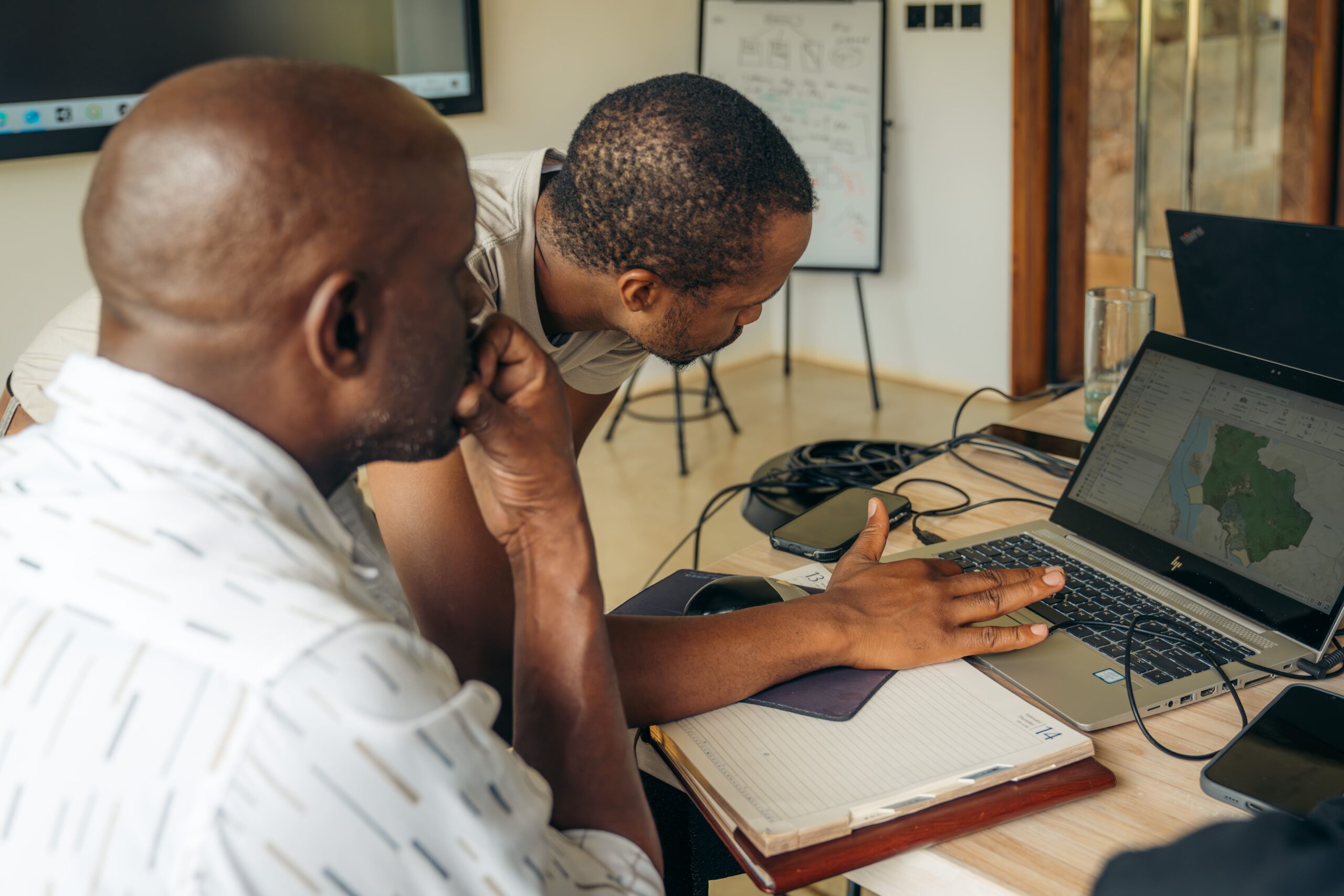
Hands-On Learning with Real-World Applications
The six-day program was designed to equip participants with practical, research-driven skills in advanced geospatial analysis with a strong emphasis on applying these tools to real-world environmental and climate challenges. The training centered on the use of advanced geospatial methods to analyze freely available climate and ecological data, ensuring that all participants, regardless of institutional background or geographic location, had access to powerful and scalable analytical tools.
The training modules covered GIS fundamentals for ecologists, landscape pattern analysis in R, spatial analysis of ecological data in R, spatial data sources and access, habitat connectivity, and Google Earth Engine (GEE) for large-scale remote sensing analysis. These sessions blended theory with hands-on exercises, allowing participants to apply techniques immediately to case studies from their regions.
To support continued learning beyond the training, each participant who did not already have access was provided with a free ArcGIS Pro license valid for one year. This ensured that the knowledge gained during the workshop could be transferred directly into ongoing research, planning, or conservation work in their home institutions and communities.
One of the most rewarding aspects of the training was the sense of global connection it fostered. A total of 50 participants from 21 countries took part, with 16 attending in person at the RISE facility in Grumeti, Tanzania, and 34 joining online. Despite the physical distance, participants engaged in lively discussions, collaborative exercises, and shared reflections on the challenges they face in their respective regions.

“This training was more than a technical experience; it was a platform for collaboration, innovation, and growth. Each participant brought valuable insight and enthusiasm, helping to shape a vibrant learning environment.” – Serge Angali, a participant from Rwanda.
As the training concluded, it was clear that its impact extended far beyond technical skill-building. Participants left not only with advanced GIS knowledge, but with new perspectives, professional networks, and a renewed sense of purpose. Many expressed intentions to apply what they learned to urgent local issues from mapping deforestation and wildlife movement to improving land use planning and climate adaptation strategies.
The connections formed during the program laid the groundwork for future collaborations across continents, reinforcing the idea that when knowledge is shared across borders, its potential multiplies.
This training was not the end, but a starting point, a catalyst for continued learning, innovation, and global cooperation in the geospatial field.