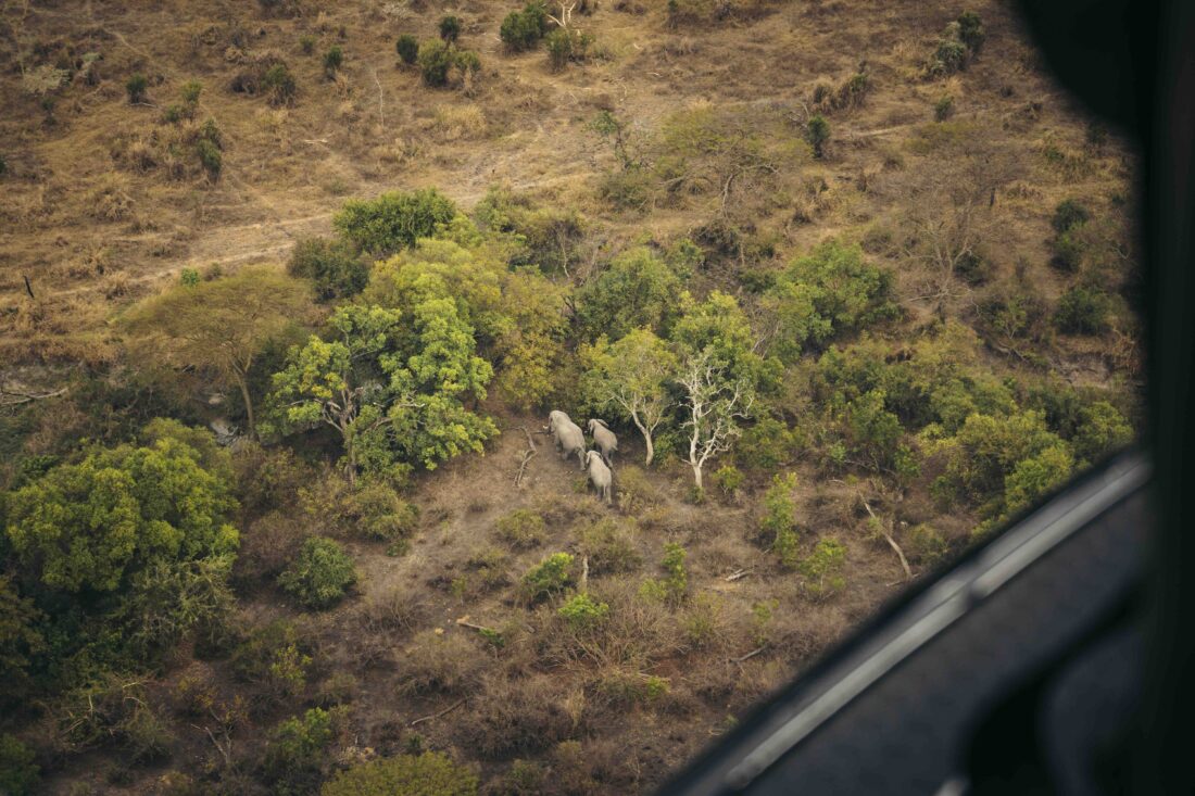
The Aerial Count – A Bird’s Eye View of Conservation in Grumeti
At Grumeti, our commitment to wildlife conservation spans the vast plains of the Western Serengeti, where we consistently monitor animal populations to maintain a balanced ecosystem. One of our most powerful tools for this is aerial counting, allowing us to gather crucial data from above. Recently, our Research and Monitoring team conducted an aerial count over five days. Key observers included Noel Mbise, our General Manager, Stanslaus Mwampeta, Head of Research, along with Benson Benjamin, Hamza Kija, and John Sanaare from the Tanzania Wildlife Research Institute. Jonas Werema from the Tanzania Wildlife Authority also played a vital role. Data collection was expertly managed by Pete Goodman and Exavery Kigosi, with pilot Glenton Coomba guiding the aerial survey
What is an Aerial Count?
Aerial counts are used to estimate populations of large mammals like buffalo, elephants, and giraffes, giving us a broad view of how these species are distributed across the landscape. Using helicopters or fixed-wing aircraft, our team can cover extensive areas in a relatively short amount of time, making aerial surveys particularly useful for ecosystems as large as the Serengeti.
While other wildlife estimation methods, such as road transects and camera traps, are valuable for specific scenarios, aerial counts allow us to quickly assess multiple species over a vast area. However, these surveys have limitations—smaller animals like warthogs and dik-diks can be difficult to detect from the air, and weather conditions such as storms, smoke, or heavy rain can reduce visibility.
Why Aerial Counts Matter for Conservation
The results of our aerial counts are crucial for tracking population trends and identifying habitats that are vital for species survival, especially for endangered animals like rhinos. The information helps us and our partners, to refine our conservation strategies. By understanding where wildlife is thriving and where it may be struggling, we can tailor our conservation efforts to specific needs.
Interesting Facts About the Aerial Count
During the aerial count, some species are counted individually (a total census), particularly large animals like elephants and buffalo. For smaller species that blend into their surroundings, a sample is taken, and the population estimate is derived from that. These estimates include a statistical confidence interval to reflect potential variation in the numbers, helping us paint an accurate picture of the ecosystem.
We look forward to using this data to further improve our conservation programs and ensure the continued success of wildlife populations in the Western Serengeti.


